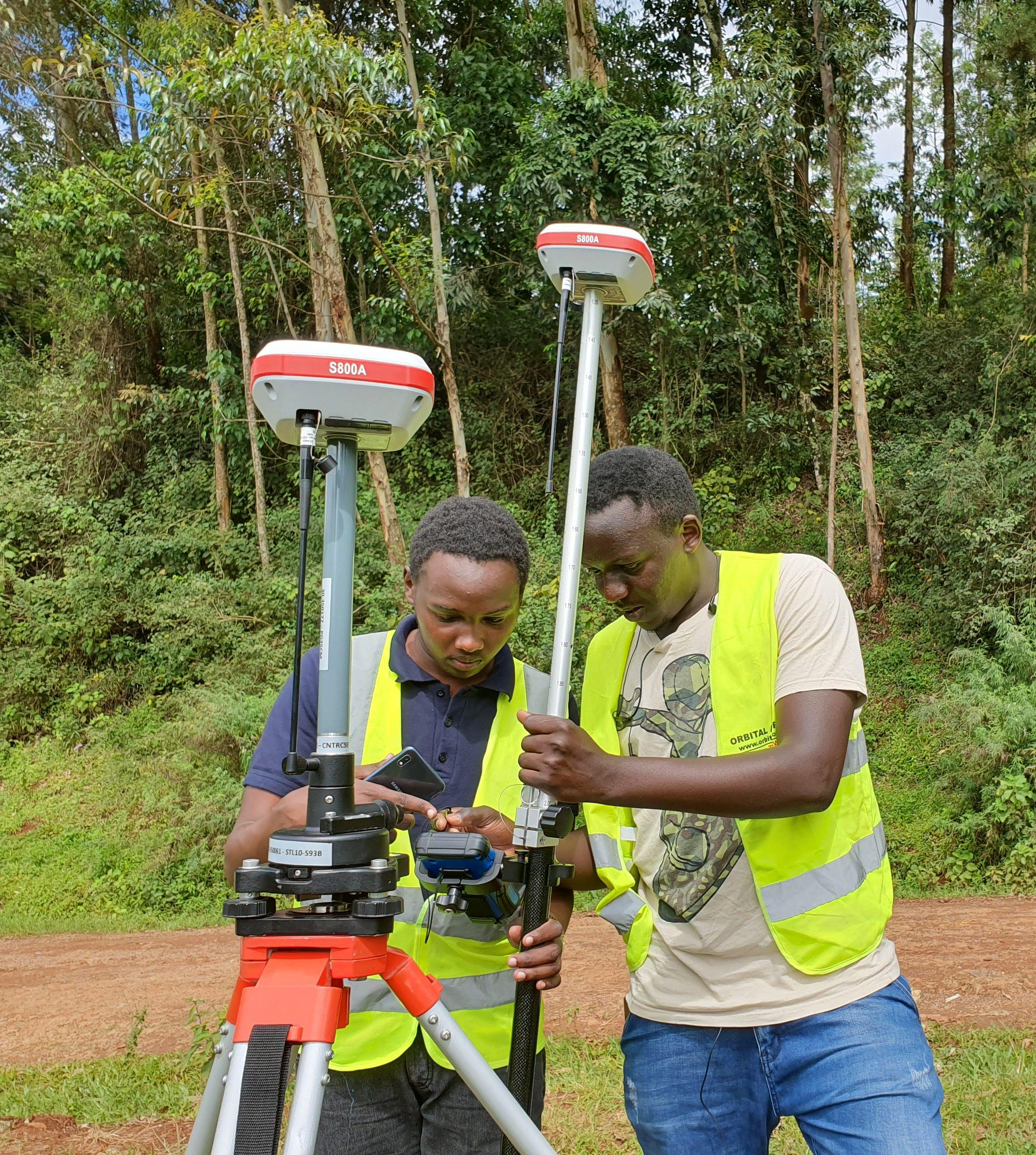
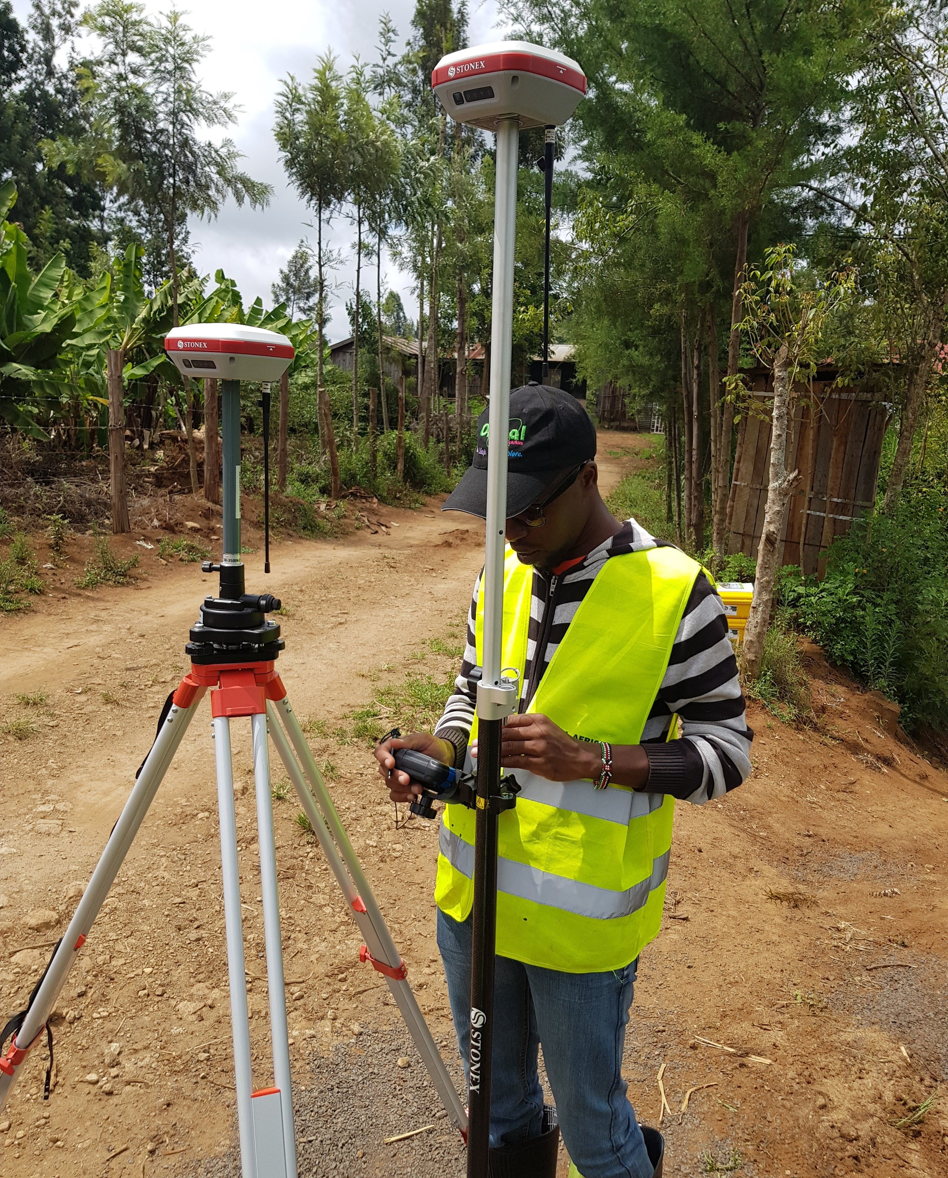
A GNSS OR RTK MACHINE
GNSS stands for Global Navigation Satellite System, and is an umbrella term that encompasses all global satellite positioning systems. This includes constellations of satellites orbiting over the earth's surface and continuously transmitting signals that enable users to determine their position/coordinates on the Earth's surface. A satellite navigation system with global coverage may be termed a global navigation satellite system (GNSS). As of June 2020, the United States' Global Positioning System (GPS), Russia's Global Navigation Satellite System (GLONASS) and China's BeiDou Navigation Satellite System (BDS) are fully operational GNSSs, with the European Union's Galileo scheduled to be fully operational by late 2020. All GNSS receivers are compatible with GPS, but GPS receivers are not necessarily compatible with GNSS.
Both GPS and GNSS consist of three major segments: The Space Segment (satellites), The Ground Segment (ground control stations), and The User Segment (GNSS or GPS receivers), and the exact location of each satellite is known at any given moment. Satellites are continuously sending radio signals toward earth, which are picked up by GNSS or GPS receivers. The ground control stations that monitor the Global Navigation Satellite System continuously track satellites, update the positions of each and enable information on earth to be transmitted to the satellites. Currently, GNSS/GPS is being used in a variety of fields where the use of precise, continually available position and time information is required, including land and engineering survey, construction, agriculture, transportation, machine control, marine navigation, vehicle navigation, mobile communication and athletics.

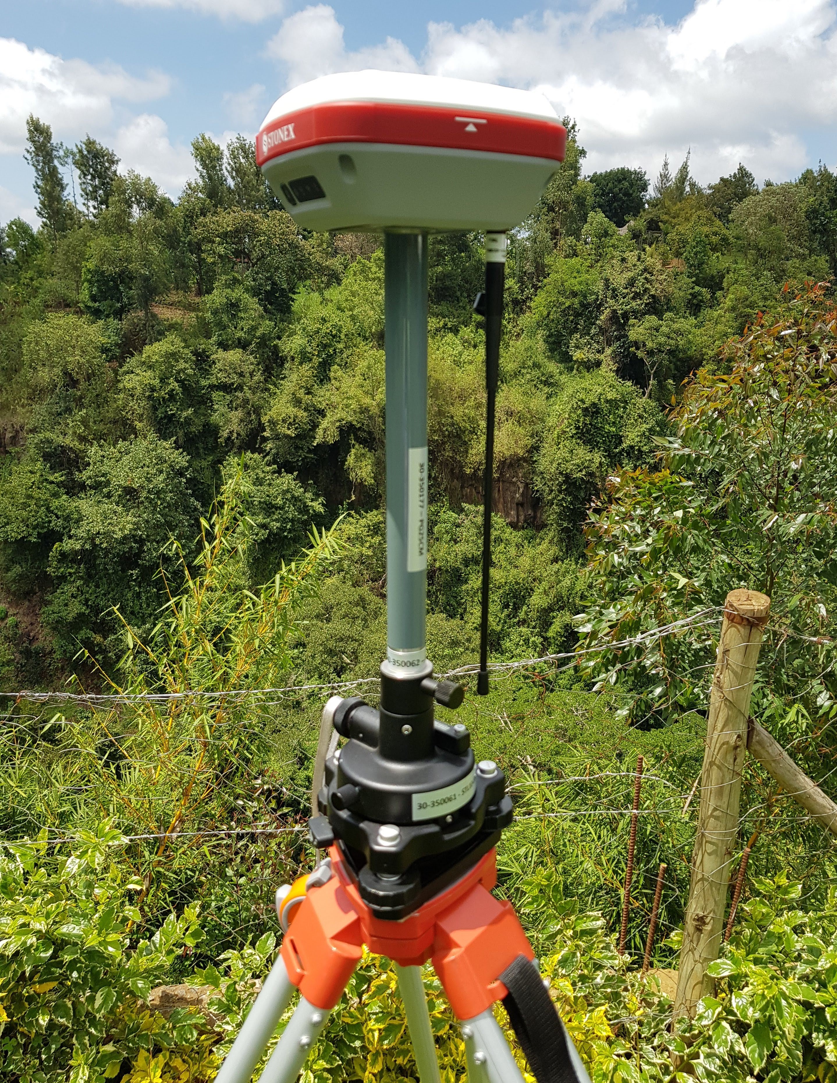
High precision GNSS positioning for land survey or engineering survey purposes requires RTK positioning. Real-time Kinematic (RTK) positioning is a satellite navigation technique used to enhance the precision of position data derived from satellite-based positioning systems (Global Navigation Satellite Systems) e.g. GPS, GLONASS, Galileo, NavIC and BeiDou. It uses measurements of the phase of the signal's carrier wave in addition to the information content of the signal and relies on a single reference station or interpolated virtual station to provide real-time corrections, providing up to centimetre-level accuracy.
In practice, RTK systems use a single base-station receiver and a number of mobile units. The base station re-broadcasts the phase of the carrier that it observes, and the mobile units compare their own phase measurements with the one received from the base station. There are several ways to transmit a correction signal from base station to mobile station. The most popular way to achieve real-time, low-cost signal transmission is to use a radio modem, typically in the UHF Band.
You can also request a quote for any of GNSS or RTK Machine by sending us an e-mail at: [email protected] or call us on: +254-719-672296.