GROUND PENETRATING RADAR (GPR) SCANNER
Ground Penetrating Radar (GPR) is a geophysical method that uses radar pulses to image the subsurface. It is a non-intrusive method of surveying the sub-surface to investigate underground utilities such as concrete, asphalt, metals, pipes, cables or masonry. This non-destructive method uses electromagnetic radiation in the microwave band (UHF/VHF frequencies) of the radio spectrum, and detects the reflected signals from subsurface structures. GPR can have applications in a variety of media, including rock, soil, ice, fresh water, pavements and structures. In the right conditions, practitioners can use GPR to detect subsurface objects, changes in material properties, and voids and cracks. We use latest and state-of-the-art GPR equipment from US Radar.
GPR uses high-frequency (usually polarized) radio waves, usually in the range 10 MHz to 2.6 GHz. A GPR transmitter and antenna emits electromagnetic energy into the ground. When the energy encounters a buried object or a boundary between materials having different permittivities, it may be reflected or refracted or scattered back to the surface. A receiving antenna can then record the variations in the return signal. The principles involved are similar to seismology, except GPR methods implement electromagnetic energy rather than acoustic energy, and energy may be reflected at boundaries where subsurface electrical properties change rather than subsurface mechanical properties as is the case with seismic energy.
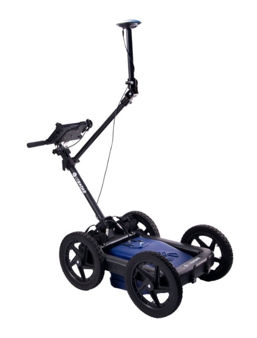
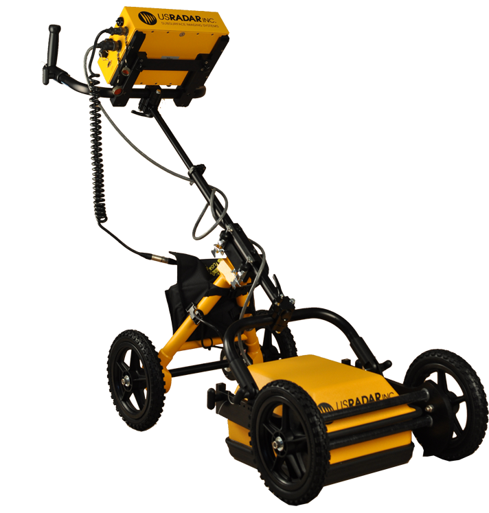
Simply put, the USRadar Q5 is a workhorse when it comes to locating buried utilities. Its easy-to-use interface can also be expanded and configured for other applications as needed. Not only is this system incredibly versatile, but it is the most powerful ground penetrating radar fro locating utilities up to 15′ (5m) deep at high resolution.
The USRadar Q5 is more than just a utility locator, however. It is also a data collection platform that allows you to visually document your findings to share with others on your utility installation and maintenance teams. You can use the easy-to-learn interface to create a deliverable dataset that ensures all workers are on the same page when completing the job. This results in a safer, more efficient work environment where everyone is working with more confidence.
You can also request a quote for GPR purchase, hire or GPR scanning and mapping services by sending us an e-mail at: [email protected] or call us on: +254-719-672296.