GEOLOGICAL AND GEOPHYSICAL SURVEY IN KENYA
Geological survey is the systematic investigation of the geology beneath a given piece of ground for the purpose of creating a geological map or model. Geophysical survey is the systematic collection of geophysical data for spatial studies. Detection and analysis of the geophysical signals forms the core of Geophysical signal processing. The magnetic and gravitational fields emanating from the Earth's interior hold essential information concerning seismic activities and the internal structure. At Orbital, we investigate the sub-surface conditions using non-invasive technologies (i.e., without disturbing the soils). We serve clients across the country in geotechnical, environmental, groundwater, minerals exploration and other industries.


ORBITAL has expertise in a broad range of techniques enabling the selection of the proper geophysical techniques to match the survey objectives and survey conditions. The resulting interpretations incorporate all available information including geophysical, geological, and borehole data to provide the client with the best possible interpretation of subsurface conditions. The company has provided geophysical services for many of the well-known geological, geotechnical, and environmental firms across Kenya. Projects have fulfilled diverse objectives including depth-to-bedrock mapping, aquifer characterization, contaminant leachate delineation, detection and delineation of buried materials, site response studies for earthquake hazards, and many other objectives.
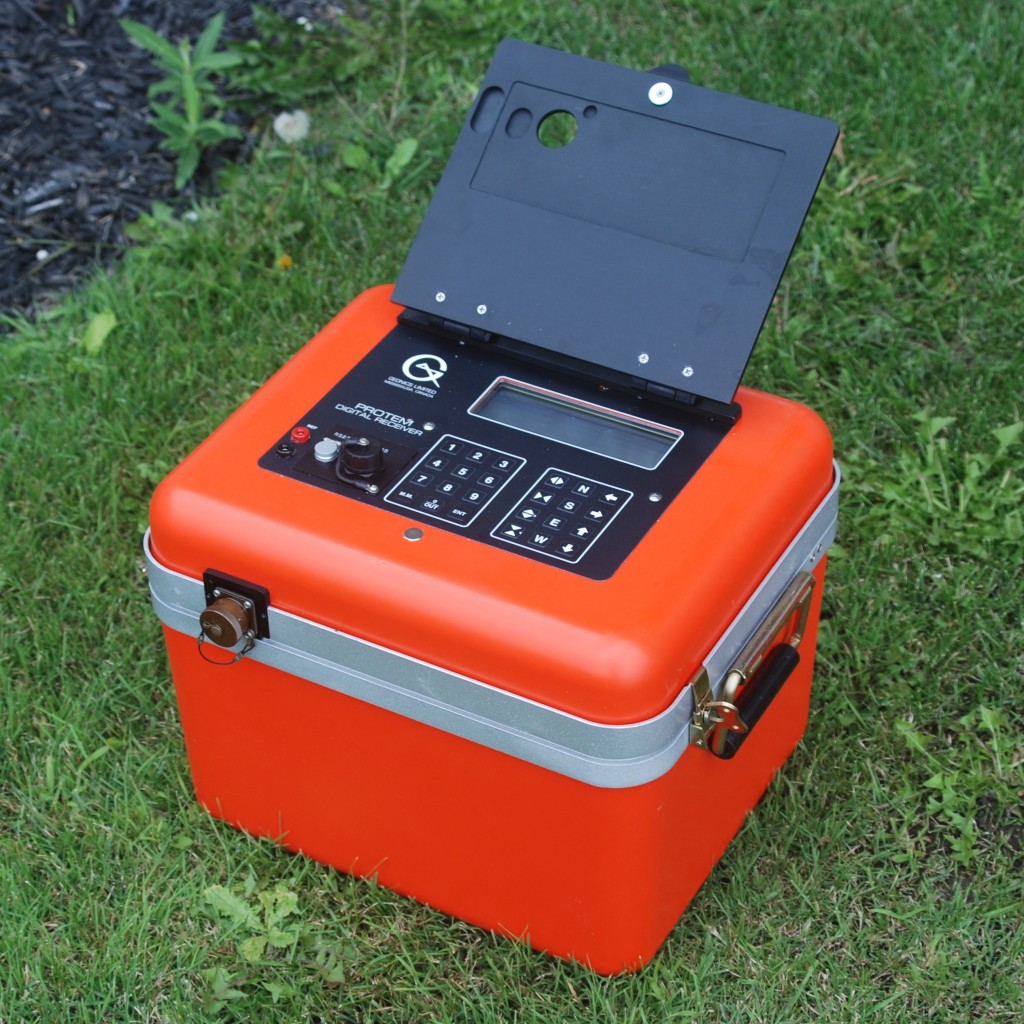
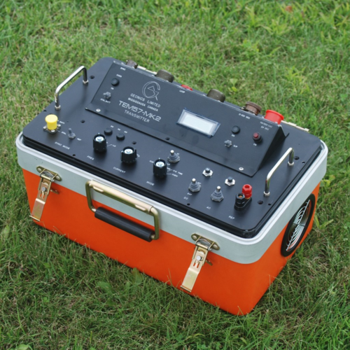
Geological and Geotechnical Equipment
- SAS 1000 (Tarameter)-Resistivity Survey;
- Induced Polarization Equipment;
- Magnetometer (For Magnetic survey);
- Ground Penetrating Radar (GPR) System;
- Electromagnetic Systems;
- EZtrac-Ezcom for downhole survey.
You can also request a quote for geological and geophysical survey services by sending us an e-mail at: [email protected] or call us on: +254-719-672296.