Land, Topo, 3D LiDAR, GPR & Drone Survey
We offer a wide range of Land surveys, Engineering surveys, Topographical Surveys and Mapping Services and Solutions using latest and state-of-the-art Surveying equipment in Kenya and Africa region at large. Other services include: Bathymetric and Hydrographic survey, Drone mapping and image processing, Underground Utility Scanning using Ground Penetrating Radar (GPR), 3D Terrestrial Scanning Services, Thermal Mapping, Geodetic and Control Surveys among others. Our services & solutions have been tried and tested by various clients within Africa. You'll never go wrong by choosing Orbital Africa!
Topo Surveys
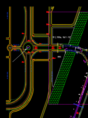
We carry out the land, and topo surveys; creation of CAD maps, contouring and 3D profiles.
DETAILS...Land Surveys
We do mutations, beacons, titling, the General and Fixed Boundary Survey; cadastral surveys etc.
DETAILS...Eng. Surveys
E.g. 3D eng. designs; road, bridge works, pipelines, Long. & X-sections; Levels; CAD profiles...
DETAILS...Bathymetric and Hydro Surveys
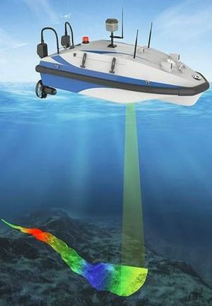
The Bathymetric Survey is done for mapping the under-water floor by Echosounder.
DETAILS...The BIM and 3D Sections Survey
Provides 3D Plans for preparing the Strata-Titles and management of a Building Unit.
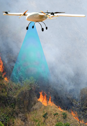
DETAILS...Drone/UAV Surveys and Mapping
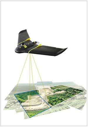
We do Aerial Mapping and Survey by using modern Drones & UAVs in Kenya.
DETAILS...Underground Utility Surveys
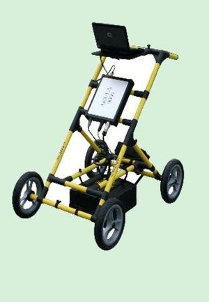
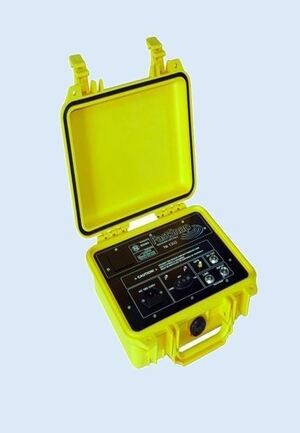
We do Ground Penetrating Radar Surveys using UtilityScan GPR and GNSS equipment.
DETAILS...3D Terrestrial Laser Scan
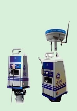
The 3D Terrestrial Laser Scanning is done by using high precision a X300 Stonex Laser Scanner.
DETAILS...Geodetic Surveys
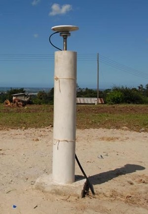
Geodetic and Control Surveys are done using latest Satellite, Aerial & Terrestrial Methods.
DETAILS...Geological/ Geophysical Survey
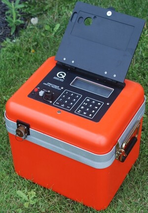
Using GPR, SAS 1,000 Tarameter, Magnetometer among others.
DETAILS...Geotechnical Survey and GIS Services
Geotechnical investigations for the dams, road constructions.
DETAILS...UAV Thermal Mapping & LiDAR Survey
We offer robust UAV thermal UAV & LiDAR mapping YellowScanner.
DETAILS...Orbital Africa is a registered Land, Topographical Surveying and GIS Mapping company based in Kenya with branches in Ethiopia, Tanzania, Uganda, south Sudan, Rwanda, Botswana and Africa at large. We carry out land, Topographic Surveys, Bathymetric Survey, Hydrographic, Sectional Properties, control, engineering surveying and 3D Mapping Services in Kenya using latest and state-of-the-art technologies and tools such as Geodetic GNSS/RTK, GPS, Scan Stations, Total Stations and Drones. In line with the current trend of equipment design which is based on the application of digital and laser based technologies, we offer services aimed at expanding our centre’s capacity and capability to service and maintain automated equipment and hardware utilized in surveying, GIS, resource mapping and environmental management. In this regard, our engineering, land/cadastral, control and topographical surveys approach is focused on:
- Provision of Control, Land & Topographical Surveying solutions and management of geo-technologies, products and services.
- Development of a Land Information Systems (LIS) for land data & information generation, application and dissemination.
- Establishing efficient Land & Topo Surveys methods; partnerships as well as in global strategic alliances and advisory services.

The aim of topo survey is to: (i) Produce Topographical and Cadastral Maps of the project area; (ii) Map Topographic Features and generate topographic (cross-sectional) profiles; (iii) To establish the vertical and horizontal controls for accurately defining locations within project area. A sample of Orbital Africa's Topographic Survey Manual can be downloaded: here. The procedure for topographical survey prcess is also found here. We also offer training on basic operation of a total station, level machine and GPS.
You can also request a quote for land or topographical survey by sending us an e-mail at: [email protected] or call us on: 0719-672296.
PHOTO GALLERY 1 2 3 4 5 6 7 8 9 >>

